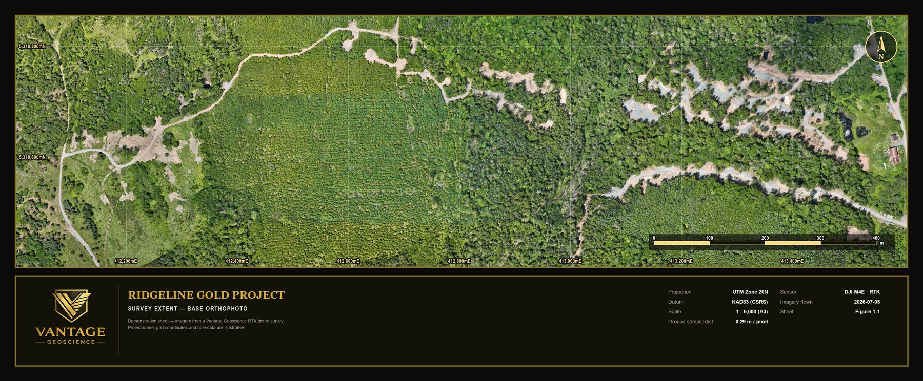
Orthomosaics
Photographic base maps at centimetre-scale ground sampling — the site as it actually is.
SRV-042_ORTHO_RGB.TIF
VANTAGE GEOSCIENCE — EXPLORATION SUPPORT · DRONE MAPPING · CUSTOM SOFTWARE
Exploration support from first boots on the property to the final press release — field crews, survey-grade aerial mapping, and software shaped to the way you work.
ACT 00 GROUND
Vantage plans, staffs and runs exploration programs under real field conditions — organized execution, decision-ready records, and crews that arrive ready to work.
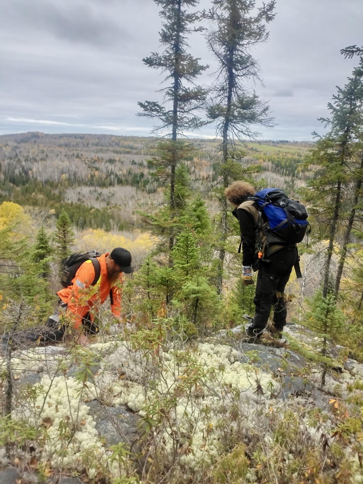
CREW MANIFEST
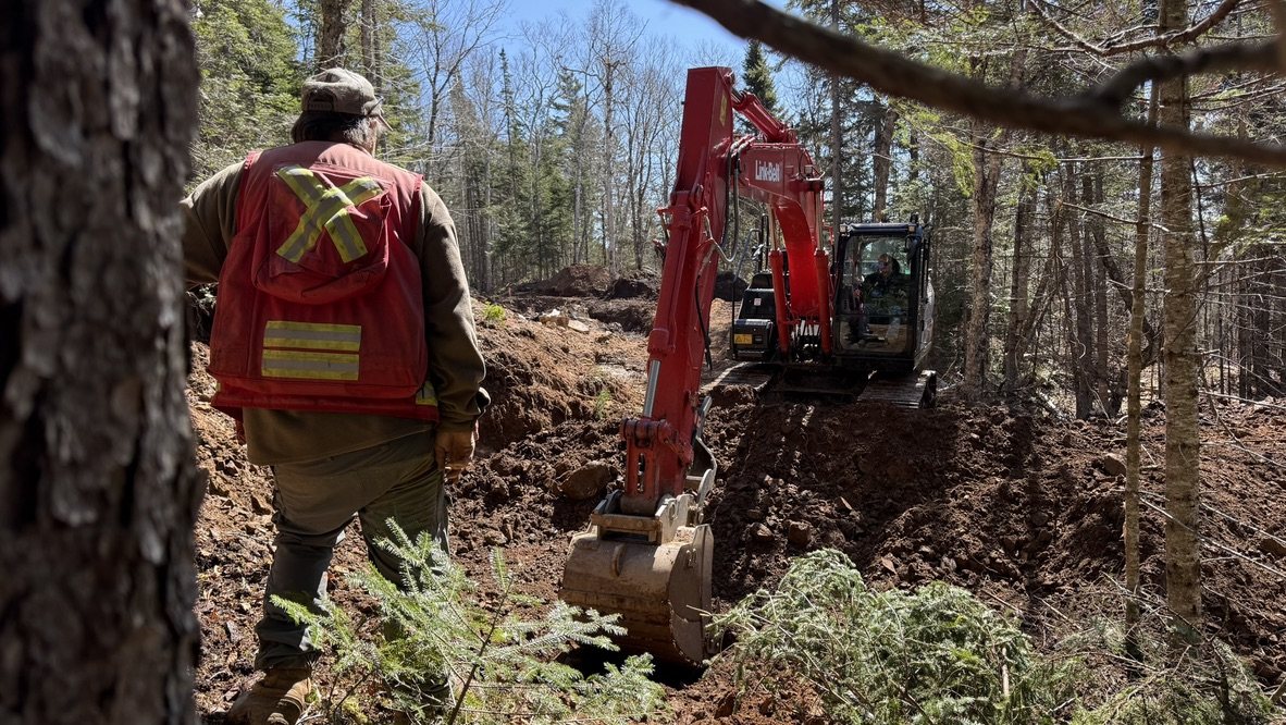
PROJECT SUPPORT
ACT 01 FIELD OPS — 0 M AGL
Six core field services, backed by the technical support that turns samples and mapping into decisions.
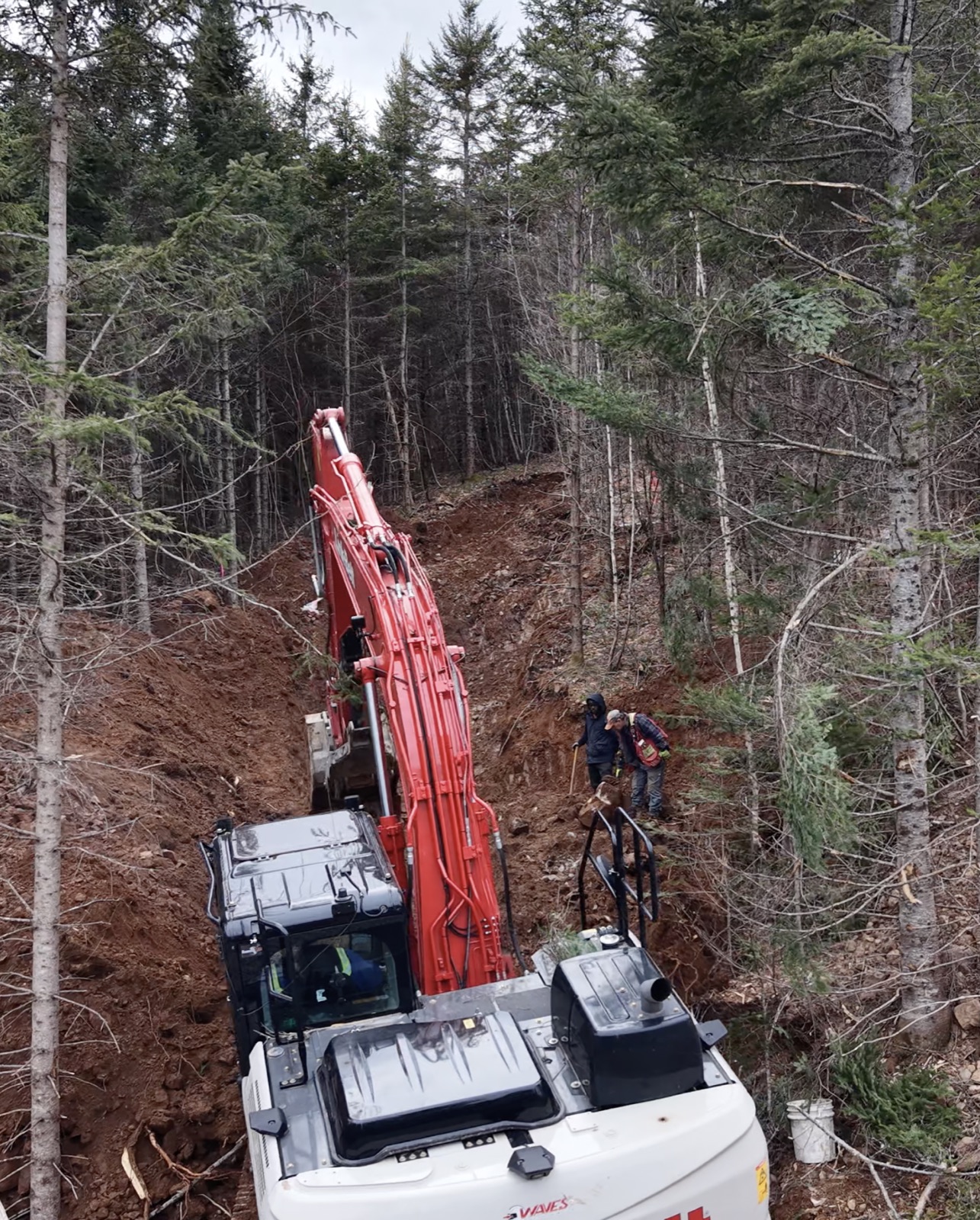
FIELD SERVICES
TECHNICAL SUPPORT
Boots can only cover so much.
ACT 02 AIR — 120 M AGL
Licensed pilots and the right aircraft for the job — mapping, lidar, thermal, inspection and more.
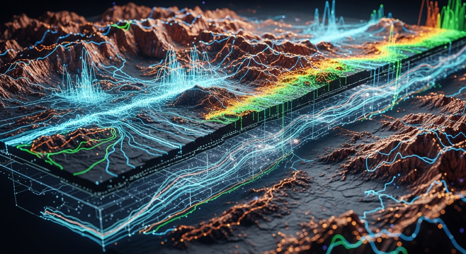
Orthomosaic base maps, elevation models and contours — a current, survey-ready picture of the whole property.
Stabilized aerial video and stills, shot on your active program — ready for investor decks, press releases and project pages.
Dense photogrammetric point clouds — the site's raw geometry, ready for volumes, modelling and engineering.
SURVEY IN PROGRESS — RTK FIX HELD
Every pass tied to control. Survey-level accuracy, delivered as data you can build on.
DELIVERABLES SURVEY-LEVEL, EVERY TIME
Photographic base maps at centimetre-scale ground sampling — the site as it actually is.
SRV-042_ORTHO_RGB.TIF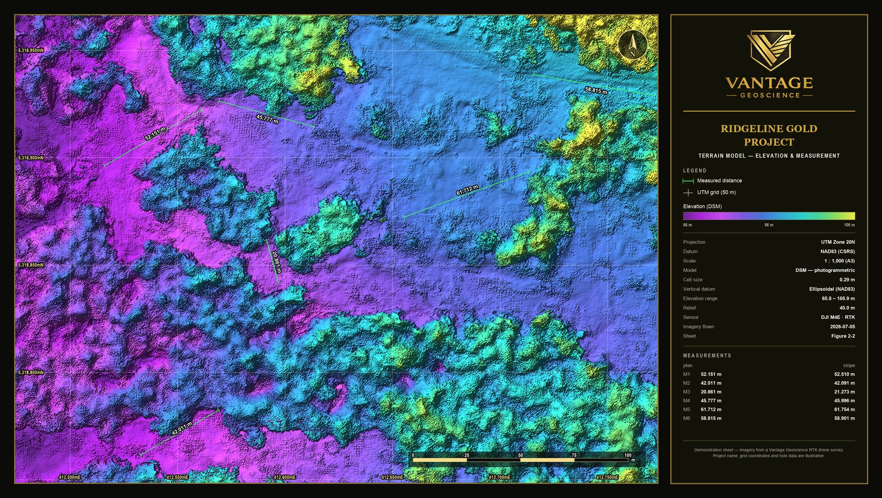
DSM and bare-earth DTM surfaces for design, drainage and volumes.
SRV-042_DTM_0P29M.TIF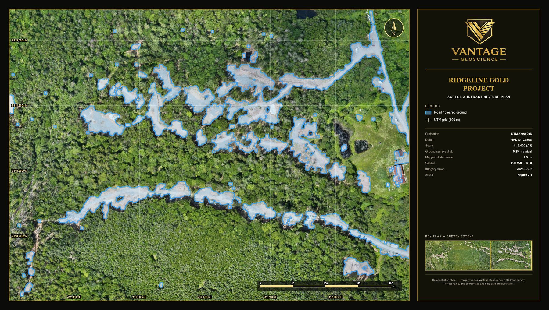
As-built access, pads and infrastructure — current, not last season's sketch.
SRV-042_SITEPLAN.DWGWhat the air captures, the software has to carry.
ACT 03 MODEL SPACE
Custom software, shaped to your operation. Not a product you adapt to — a system built around how your team already logs, samples and reports.
Data input mirrors the way your project already records — lithology codes, structure, sampling intervals, core photos. The crew's habits become the database, not a migration project.
Drill holes, assays, QAQC, photos and documents in one place — versioned, queryable, and feeding the 3-D model you just flew through. One source of truth for the whole program.
Marketing and disclosure support that starts from the data itself — figures, maps and language that hold up to technical review. NI 43-101-aware workflows from the first field report.
CAPABILITIES ACROSS THE PROGRAM
Built around your program — not the other way around.
Talk about your buildACT 04 REPORTING · DISCLOSURE · COMMUNICATIONS
Everything the field produced — records, maps, models — carried through to the documents your project stands on, and the story it tells the market.
Organized reporting workflows and practical disclosure support — field reports, technical summaries, and assistance with NI 43-101-related deliverables. Clear, professional, and true to the realities of the project.
Press releases, project updates, presentation support and investor-facing materials — grounded in technical understanding, so the message stays credible while remaining accessible to the audience it's written for.
CONTACT READY WHEN YOU ARE
Preparing for a field season, refining targets, or building a more structured approach to execution — start the conversation.